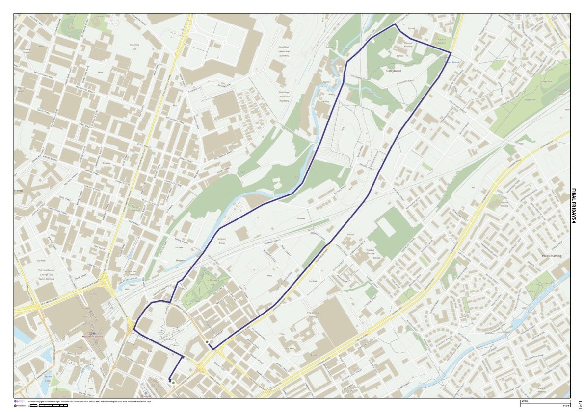
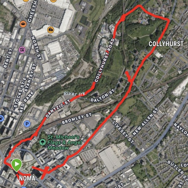
This fourth Final Fridays walk was all to do with mapping the scope and perimeters of project’s boundaries and interests.
Circumnavigating the pocket of land surveyed by the Final Fridays, we considered walking as cartography, as we co-created our GPS route. We did encounter a couple of GPS blackspots on the walk. Are these ideal places to look for ghosts? Are GPS blackspots themselves ghosts? The absence of presence, and the spectre of the satellite.
The walk was interested in thresholds presented by bridges, weirs, fences, and development. We paused at some of the tactical areas of transport links and the bits in-between.
Contemplating the weir as a boundary making device, and a space for disrupted sound, we reflected on the new noise formed because of human intervention. Through mark-making, and by closing our eyes, we acknowledged the broad strokes of the mass pouring of water, in contrast to the slower, more delicate trickles formed where the channelled river meets stones and rubble on its bed, diverting and diffracting, channelling, and intra-acting.
Exploration was made at some key sites, through rubbings and responding to feedback from surfaces. Artefacts presenting themselves, leaving traces, and offering imprints and evidence of the past, imprinting onto the present through signs and archaeology.
When editing the GoPro footage, I decided on an edit that removed all spoken dialogue (as much as possible). I’ve found that the dialogue and the spoken word tends to dominate proceedings at times, and it felt appropriate to channel and prioritise other sounds.

